
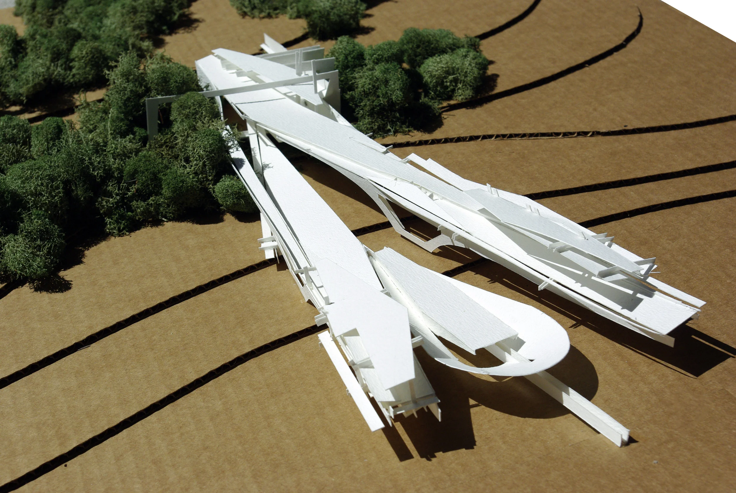


Riparian Joint / Exploring the Land/Water Joint
Riparian joint exploration is the spatially explicit study of lake Newnan and its wetlands as it interacts with the terrestrial, and human landscapes of the peripheral ecosystem. The spatial study is also intended to determine the effects of pattern on ecosystem processes across temporal and spatial scales. The Intervention addresses the various zones of the land / water joint of the Hydric, Mesic, and Xeric at the service of the pavilion architecture.